")
 (ES)")
Dominican Republic


The Dominican Republic is the second largest island in the Greater Antilles and shares its western third of the island with the nation of Haiti. Dominican Republic has 48.671 square kilometers, which is two thirds of the total area. The “Taino” race (in Arawacan language means good or honest) lived on the island since 800 A.D. and was extinguished 50 years after the conquest.
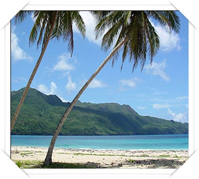
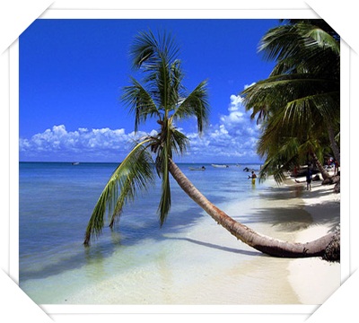
The island counts with an infinity of rivers, most of them navigable, such as Soco, Yaque del Norte, Romana, Yuma or Higuamo, just to mention a few. Dominican Republic is surrounded by three of the most important mountains: Cordillera Central, the Pico Duarte (Antilles’ highest mountain with 3.175 meters of altitude) and the Cordillera Septentrional. This last one extends to the eastern part of the island, parallel to the Cordillera Central and Oriental.
With a year-round temperature of 25º C. (77 F), the island turns its coastal line into a tropical paradise. However, the mountainous area of the island, such as Valle Nuevo, Pico Duarte and Constanza can reach temperatures as low as 0º C during some seasons of the year.
Santo Domingo is the country’s main capital, but it also counts with very important cities such as Santiago de los Caballeros, Puerto Plata, Barahona, La Romana, Higuey, Bavaro, El Seibo and Hato Mayor del Rey. This last mentioned city is where Rancho Capote is located.
Book Online

Certificate Tripadvisor


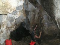
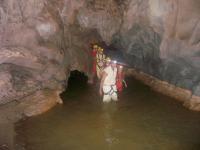
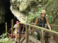
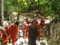
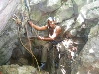
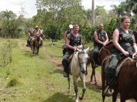
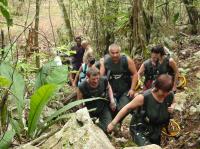
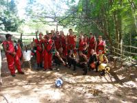
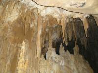
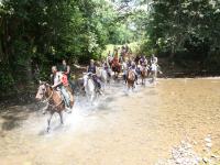
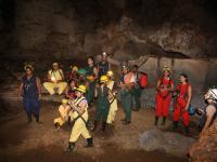
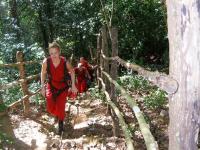
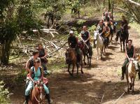
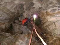
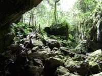
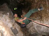
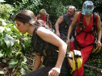
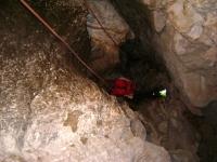
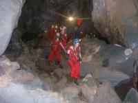
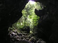
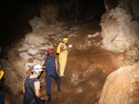
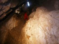
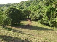
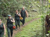
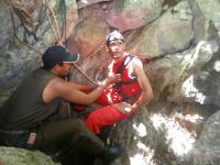
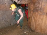
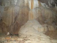
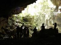
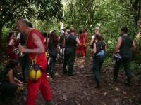
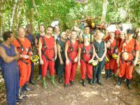
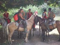
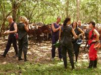
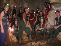
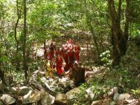
Fun Fun Cave Photo Gallery

Partner de / of